Our SURVEYING EQUIPMENT
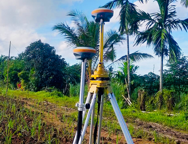
RTK ROVERS & GNSS BASE STATION
REAL TIME KINEMATIC (RTK) is a surveying technique where two GPS/GNSS antennas measure their position relative to each other in real time. It involves a stationary base station and a human-operated rover with an antenna that communicates with the base station. In recent years, ESC has invested in the use of RTK technology to enhance the precision of position data derived from satellite-based positioning systems (GNSS).
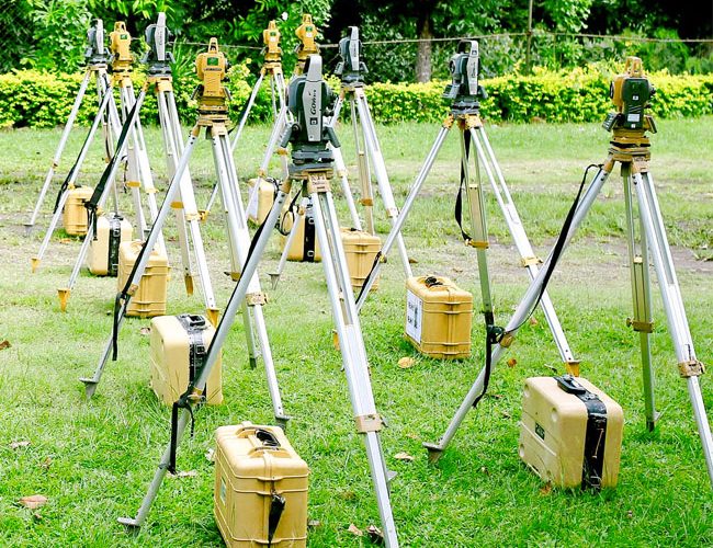
ELECTRONIC TOTAL STATION
ELECTRONIC TOTAL STATIONS have opto-electronic distance meter (EDM) and electronic angle scanning to digitally measure angles and distances in order to record topographic features of a parcel land or to set out boundaries of certain lots, roads, houses, and the like. With the use of the electronic total stations, ESC can measure and record survey points that can be downloaded to computers for speedy and more accurate data processing.
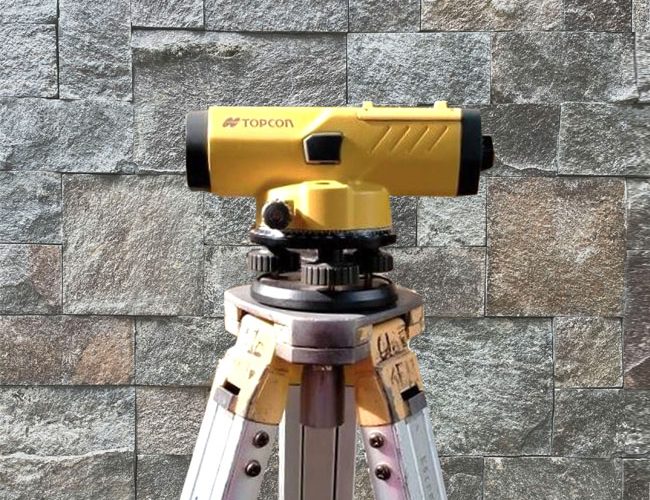
SURVEYOR’S LEVEL
A SURVEYOR’S LEVEL is an instrument used to obtain height differences of points above or below a horizontal line. It is used to determine and establish elevations of points and differences in elevation between points. ESC has used this precision equipment in setting the plinth level of a building as well as setting road, railway, canal or sewage alignments.
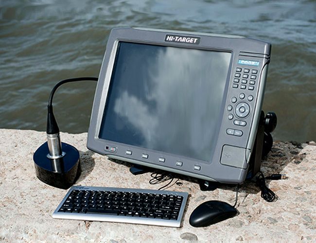
DIGITAL ECHOSOUNDER
The DIGITAL ECHO SOUNDER uses the echo sounding technology to measure distances underwater by transmitting sound pulses into the water. Echo sounding is a more rapid method of measuring water depth than the previous technique of lowering a sounding line until it touched bottom. ESC uses the Digital Echo Sounder for Hydrographic or Bathymetric Surveys in order to measure the sea floor or determine the physical features present underwater.

UNMANNED AERIAL VEHICLES (UAV’S)
A UAV survey refers to the use of a drone to capture aerial data with downward-facing sensors. During a drone survey with an RGB camera, the ground is photographed several times from different angles, and each image is tagged with coordinates. ESC conducts Aerial Surveys mostly for land developers for purposes of reconnaissance as well as agricultural landowners for production monitoring.