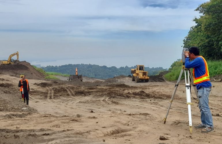
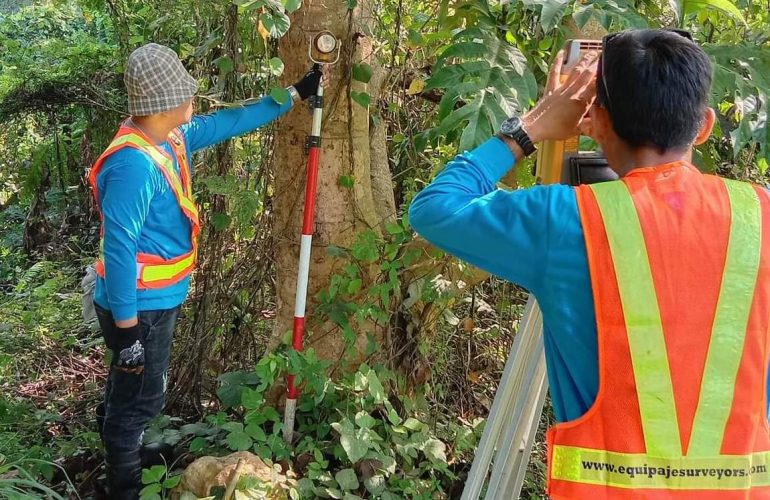
TREE TAGGING
SURVEY

This type of survey is done to determine the relative position of a tree to the parcel of land where it is located. Tree names, truck diameter, estimated height and estimated canopy width are also noted commonly for environmental permit application purposes.

ROAD / CREEK / RIVER SURVEY

This is a specialized type of land surveying used by developers in planning for flood control and road designs with the aid of generated cross-section and Profile Plans.

CONSOLIDATION
SURVEY

The purpose of this survey is to combine several parcels of land into a single parcel. Consolidation surveys are commonly done for developers who acquire many adjacent parcels of the land. The output is then subdivided again into many parcels like in a housing development. Most of the time, a consolidation survey is required before a subdivision survey can be done.

SUBDIVISION
SURVEY

The purpose of this survey is to split a single tract of land into smaller parcels. Once new (smaller) land parcel boundaries have been established, DENR approval of the Subdivision Plan as well as individual titling for the new parcels can then be processed.

AS-BUILT
SURVEY

This type of survey is done to identify the present features on a property, as it is to be used for the planning, construction and renovation stages of a project. This kind of survey ensures that progress is occurring as it should and that the improvements are located precisely where it should be.

TOPOGRAPHIC
SURVEY

This type of survey gathers data about elevation points, marking all the natural and man-made features on a parcel of land. It shows the location, size, and height of improvements as well as gradual changes or contours in elevation.

RELOCATION
SURVEY

This type of survey marks out the boundaries of a parcel of land with the use of a monument. This is commonly required by private individuals and construction firms who need to determine the boundaries of the properties they plan to develop.