CAAP SURVEY
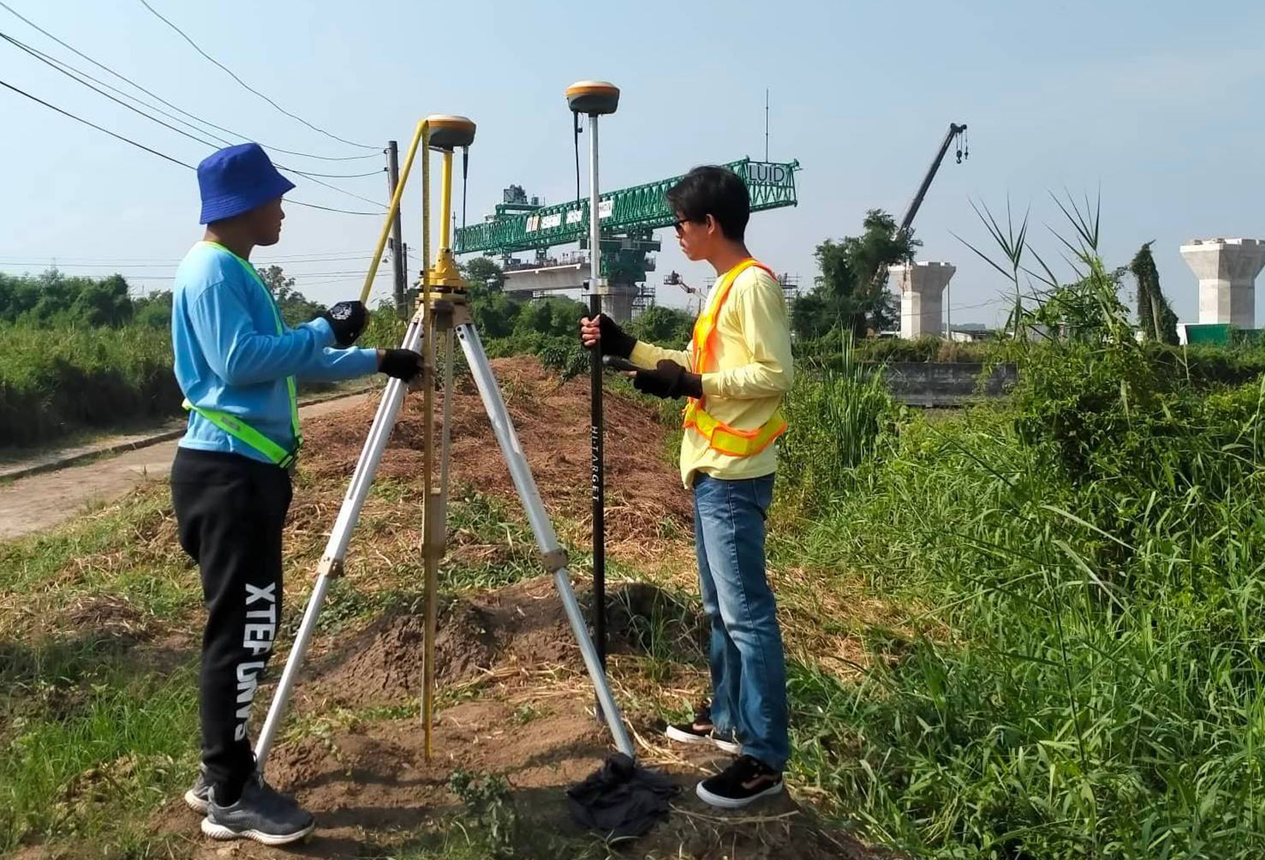
The purpose of this survey is to identify the geographic coordinates of a property or structure with the use of GPS/RTK instruments, as required by the Civil Aviation of the Philippines (CAAP). Horizontal and vertical position of the survey is reckoned from the existing ground control points (GCPs) established by the National Mapping and Resource Information Authority (NAMRIA).

