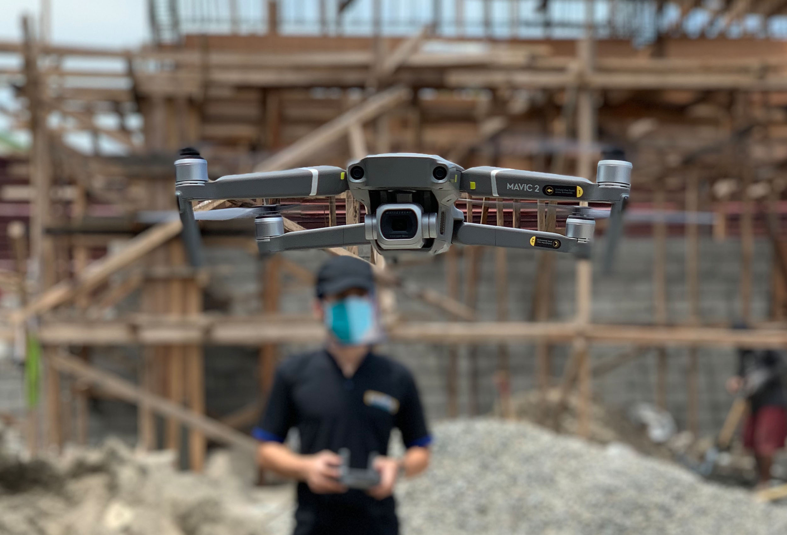
Aerial Survey
This is a type of survey which collects information by utilizing aerial photography and videography through the use of Unmanned Aerial Vehicles (UAVs) or drones. it is ideal for vast areas which would otherwise be unable to captured by traditional means or would take numerous site visits and staff hours to cover.