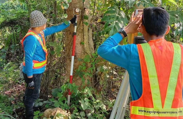
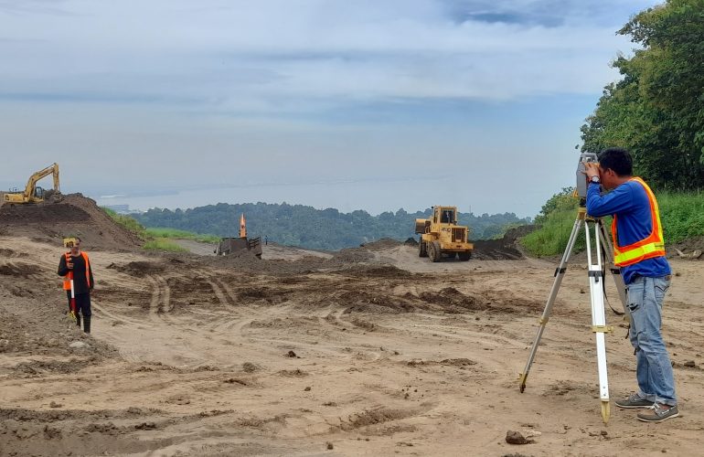
SURVEY PLANS PREPARATION

This is the process of generating different plans and/or maps from acquired field data through various surveying equipment. Survey plans are the official and legal documents that display the exact legal borders of a property, duly signed by a licensed surveyor.

CAAP
SURVEY

The purpose of this survey is to identify the geographic coordinates of a property or structure with the use of GPS/RTK instruments, as required by the Civil Aviation of the Philippines (CAAP). Horizontal and vertical position of the survey is reckoned from the existing ground control points (GCPs) established by the National Mapping and Resource Information Authority (NAMRIA).

AERIAL
SURVEY

This is a type of survey which collects information by utilizing aerial photography and videography through the use of Unmanned Aerial Vehicles (UAVs) or drones. it is ideal for vast areas which would otherwise be unable to captured by traditional means or would take numerous site visits and staff hours to cover.

HYDROGRAPHIC
SURVEY

This type of survey deals with bodies of still or running water such as a lake, harbor, stream or river using a digital echo-sounder equipment. It is used to define the shoreline and underwater features, helpful in the planning stages of a bridge, pier or beach resort development.

ENGINEERING
(BUILDING) SURVEY

Engineering surveys are different kinds of surveys done in a construction setting, such as the laying out of a building foundation, floor leveling and the laying out of road designs of airports.

TREE TAGGING
SURVEY

This type of survey is done to determine the relative position of a tree to the parcel of land where it is located. Tree names, truck diameter, estimated height and estimated canopy width are also noted commonly for environmental permit application purposes.

ROAD / CREEK / RIVER SURVEY

This is a specialized type of land surveying used by developers in planning for flood control and road designs with the aid of generated cross-section and Profile Plans.

CONSOLIDATION
SURVEY

The purpose of this survey is to combine several parcels of land into a single parcel. Consolidation surveys are commonly done for developers who acquire many adjacent parcels of the land. The output is then subdivided again into many parcels like in a housing development. Most of the time, a consolidation survey is required before a subdivision survey can be done.

SUBDIVISION
SURVEY

The purpose of this survey is to split a single tract of land into smaller parcels. Once new (smaller) land parcel boundaries have been established, DENR approval of the Subdivision Plan as well as individual titling for the new parcels can then be processed.