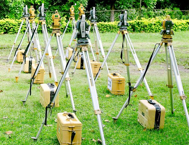
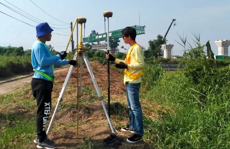
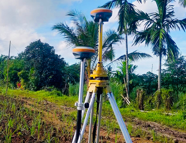
RTK ROVERS & GNSS BASE STATION

REAL TIME KINEMATIC (RTK) is a surveying technique where two GPS/GNSS antennas measure their position relative to each other in real time. It involves a stationary base station and a human-operated rover with an antenna that communicates with the base station. In recent years, ESC has invested in the use of RTK technology to enhance the precision of position data derived from satellite-based positioning systems (GNSS).

ELECTRONIC TOTAL STATION

ELECTRONIC TOTAL STATIONS have opto-electronic distance meter (EDM) and electronic angle scanning to digitally measure angles and distances in order to record topographic features of a parcel land or to set out boundaries of certain lots, roads, houses, and the like. With the use of the electronic total stations, ESC can measure and record survey points that can be downloaded to computers for speedy and more accurate data processing.

SURVEYOR’S LEVEL

A SURVEYOR’S LEVEL is an instrument used to obtain height differences of points above or below a horizontal line. It is used to determine and establish elevations of points and differences in elevation between points. ESC has used this precision equipment in setting the plinth level of a building as well as setting road, railway, canal or sewage alignments.

DIGITAL ECHOSOUNDER

The DIGITAL ECHO SOUNDER uses the echo sounding technology to measure distances underwater by transmitting sound pulses into the water. Echo sounding is a more rapid method of measuring water depth than the previous technique of lowering a sounding line until it touched bottom. ESC uses the Digital Echo Sounder for Hydrographic or Bathymetric Surveys in order to measure the sea floor or determine the physical features present underwater.

UNMANNED AERIAL VEHICLES (UAV’S)

A UAV survey refers to the use of a drone to capture aerial data with downward-facing sensors. During a drone survey with an RGB camera, the ground is photographed several times from different angles, and each image is tagged with coordinates. ESC conducts Aerial Surveys mostly for land developers for purposes of reconnaissance as well as agricultural landowners for production monitoring.

SURVEY PLANS PREPARATION

This is the process of generating different plans and/or maps from acquired field data through various surveying equipment. Survey plans are the official and legal documents that display the exact legal borders of a property, duly signed by a licensed surveyor.

CAAP
SURVEY

The purpose of this survey is to identify the geographic coordinates of a property or structure with the use of GPS/RTK instruments, as required by the Civil Aviation of the Philippines (CAAP). Horizontal and vertical position of the survey is reckoned from the existing ground control points (GCPs) established by the National Mapping and Resource Information Authority (NAMRIA).

AERIAL
SURVEY

This is a type of survey which collects information by utilizing aerial photography and videography through the use of Unmanned Aerial Vehicles (UAVs) or drones. it is ideal for vast areas which would otherwise be unable to captured by traditional means or would take numerous site visits and staff hours to cover.

HYDROGRAPHIC
SURVEY

This type of survey deals with bodies of still or running water such as a lake, harbor, stream or river using a digital echo-sounder equipment. It is used to define the shoreline and underwater features, helpful in the planning stages of a bridge, pier or beach resort development.

ENGINEERING
(BUILDING) SURVEY

Engineering surveys are different kinds of surveys done in a construction setting, such as the laying out of a building foundation, floor leveling and the laying out of road designs of airports.